The Mountains • Chamonix, Haute-Savoie, France
Chamonix Brévent-Flégère
1,423 mOur vertical, top station to bottom station: 1,423 m • 4,668 ft
Chamonix Brévent-Flégère has 41 runs on the map and 18 lifts. Open any picture below and zoom in until you can read every one by name.
Choose How It's Drawn
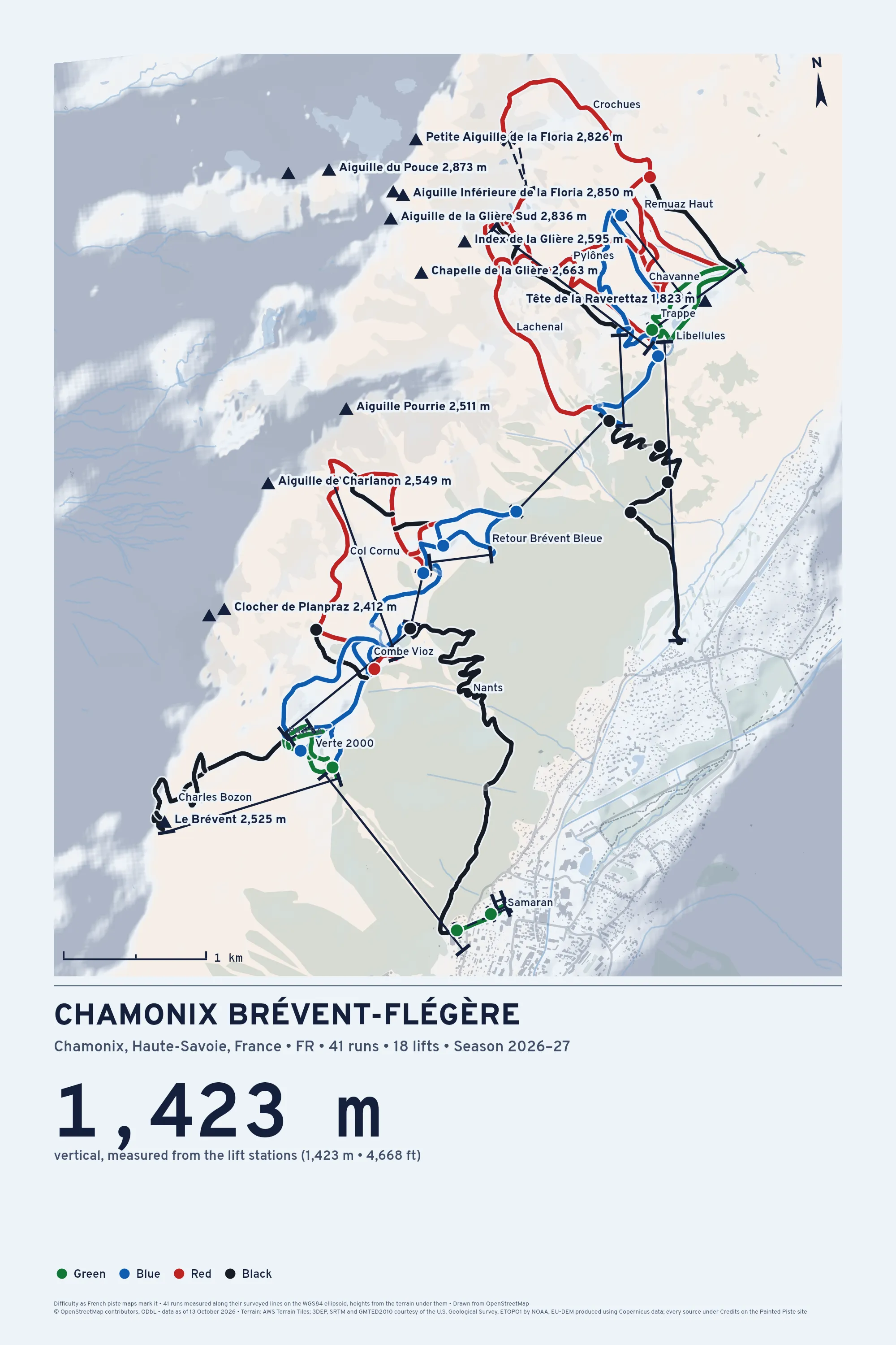
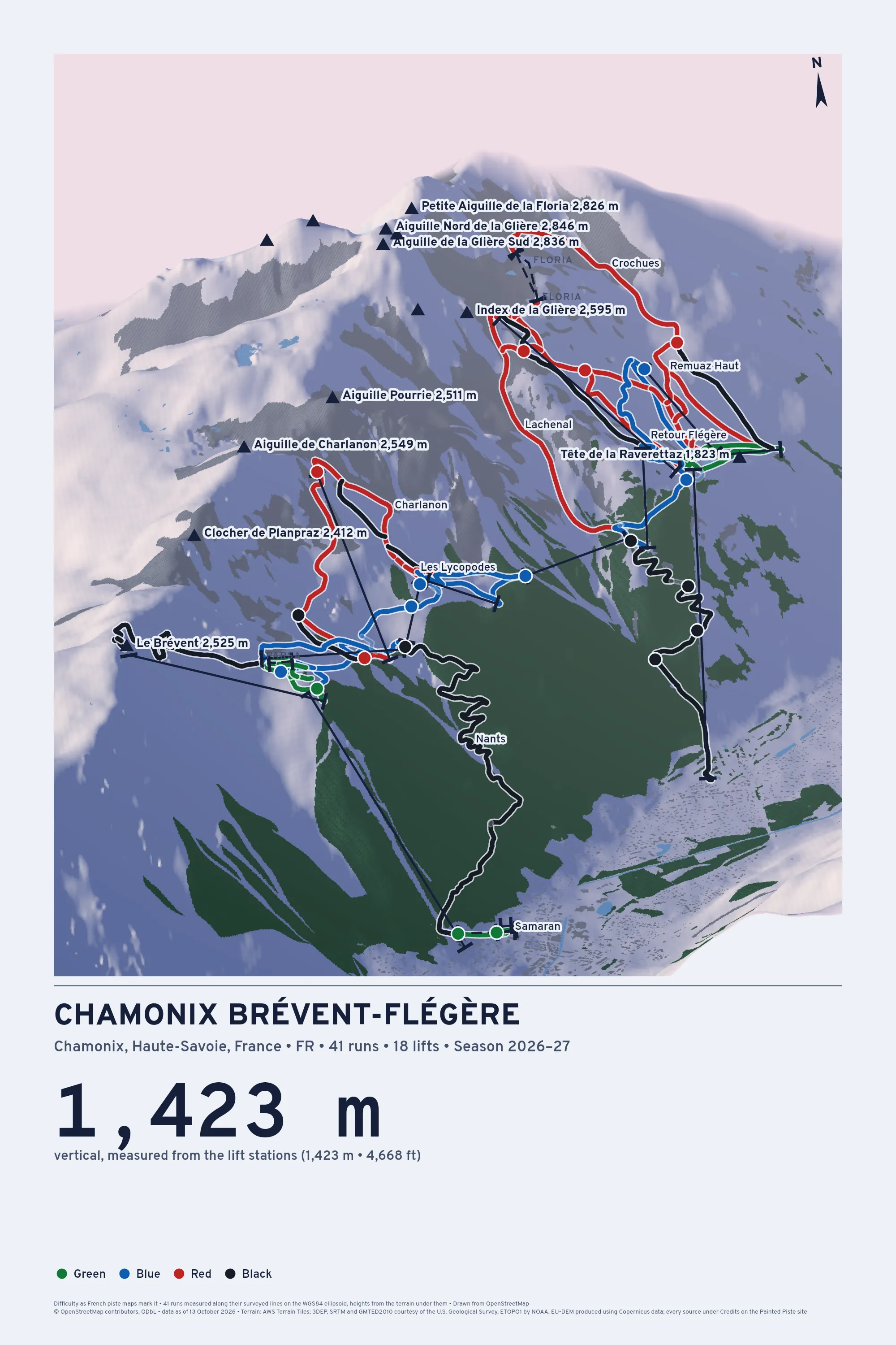
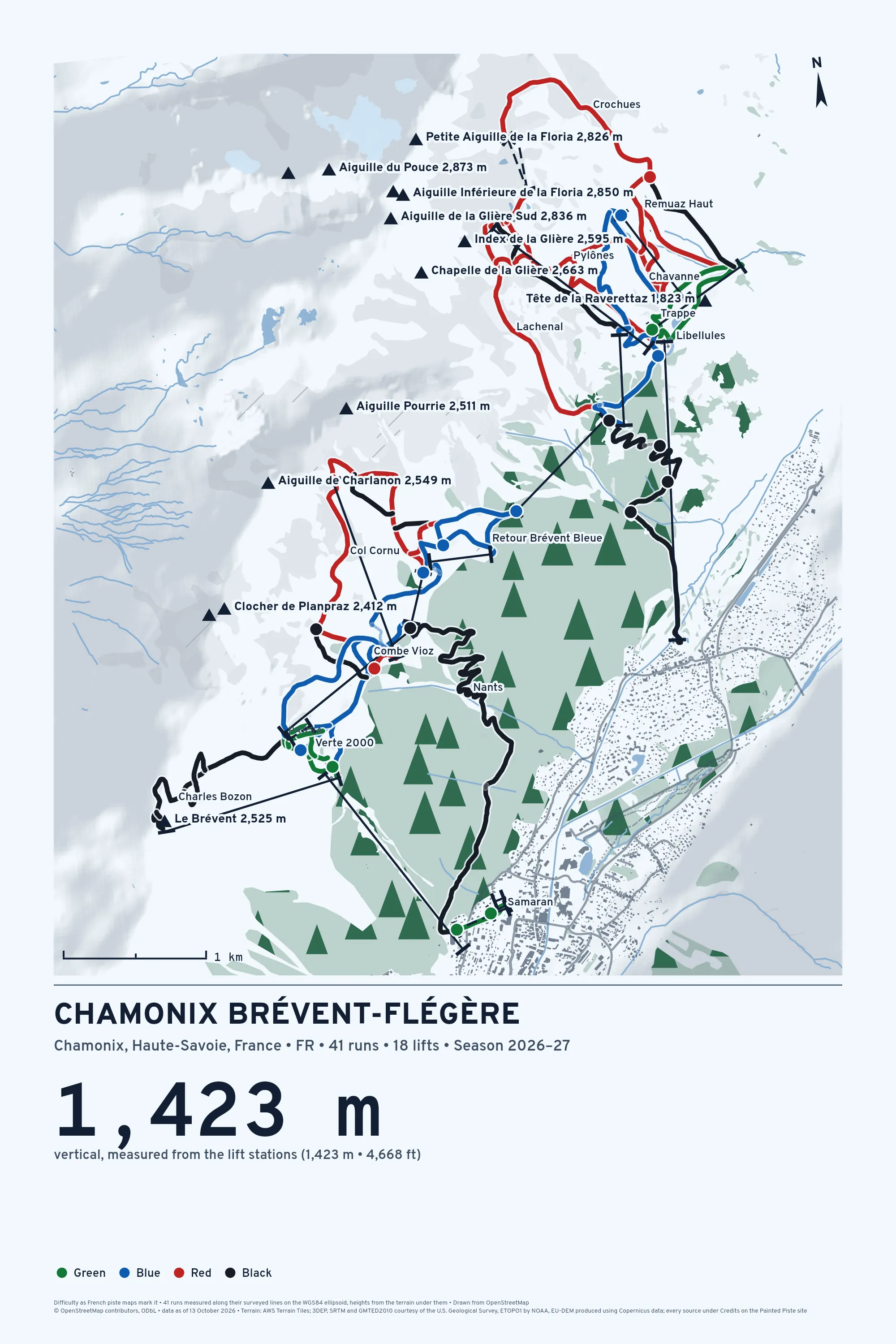
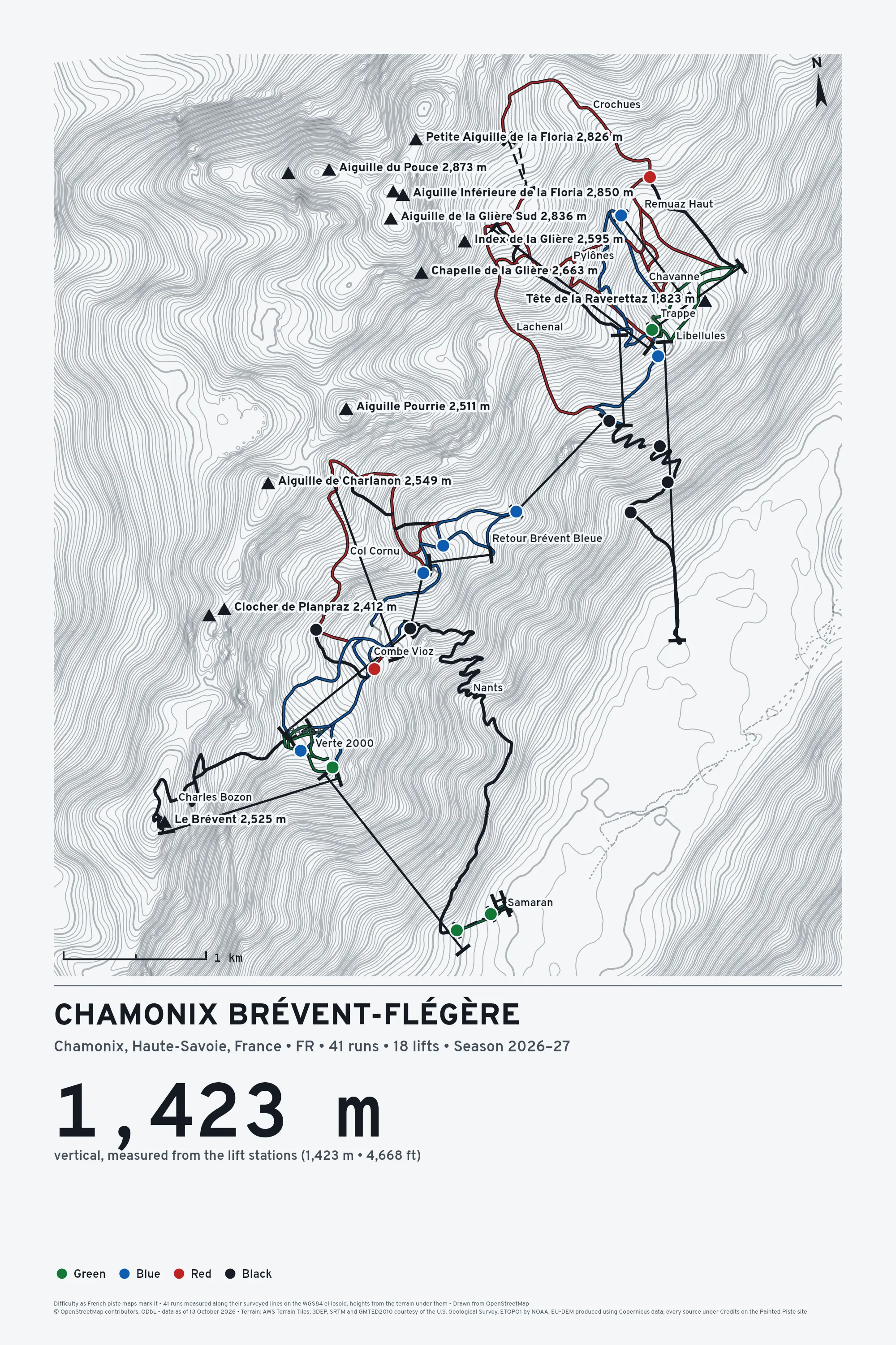
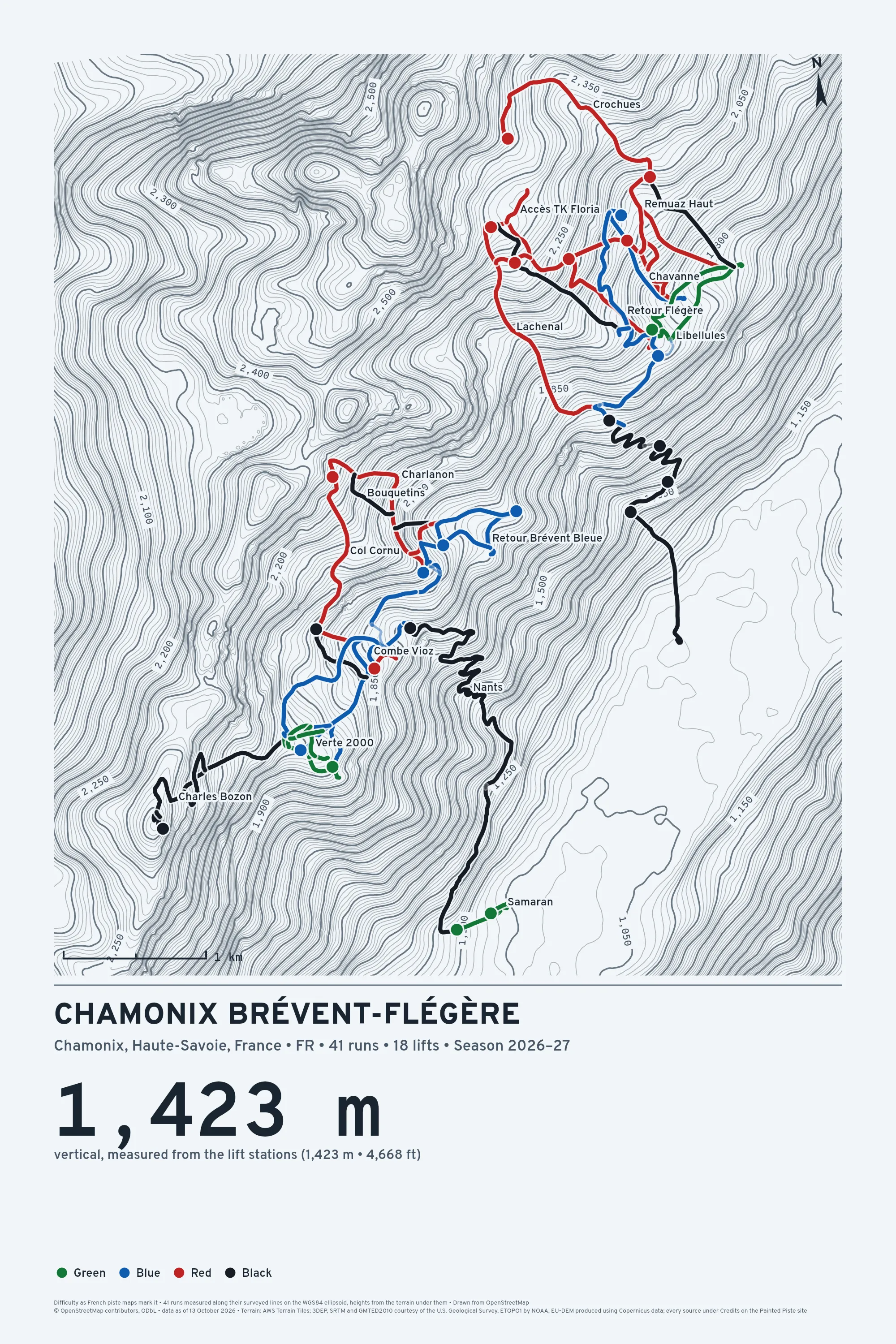
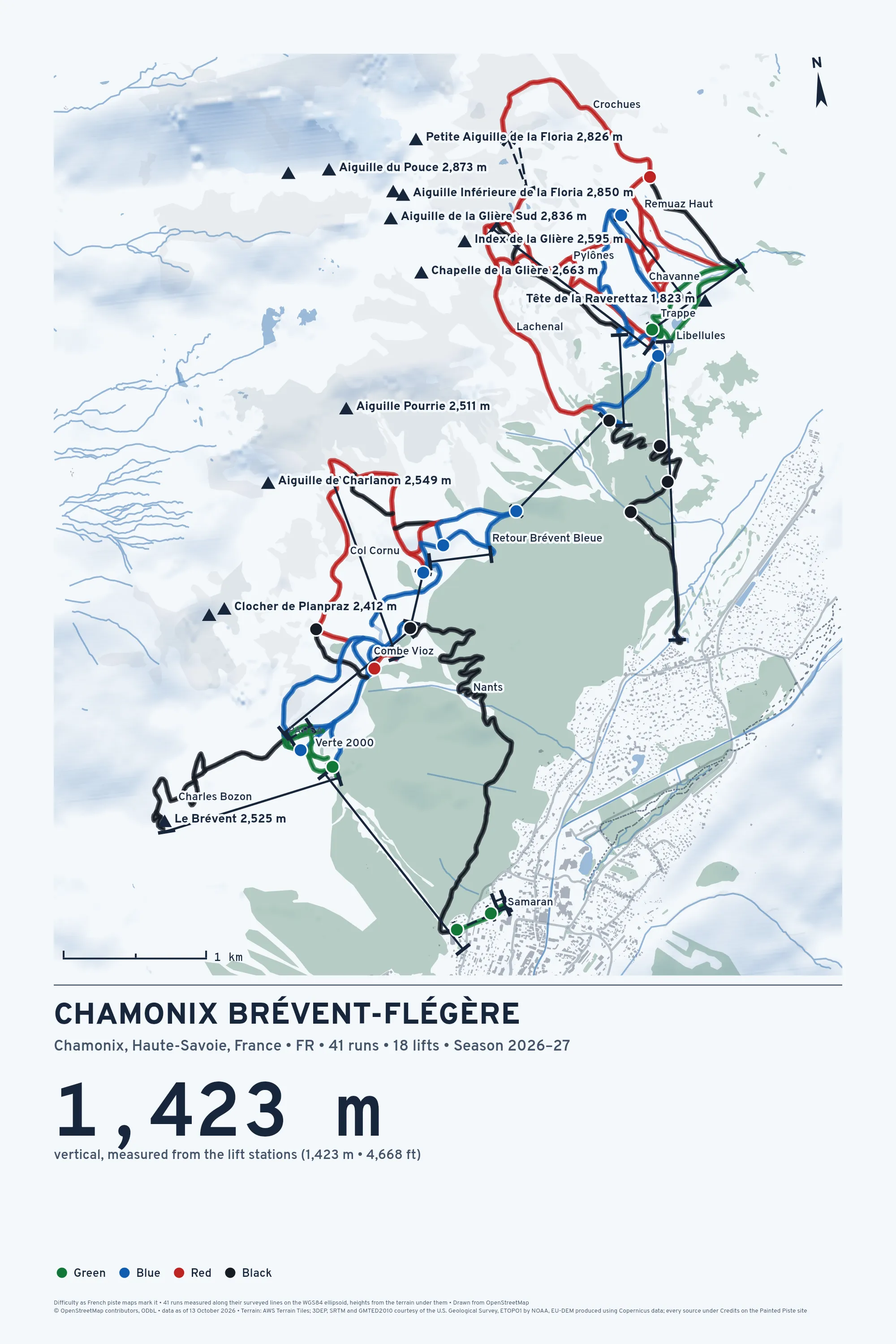
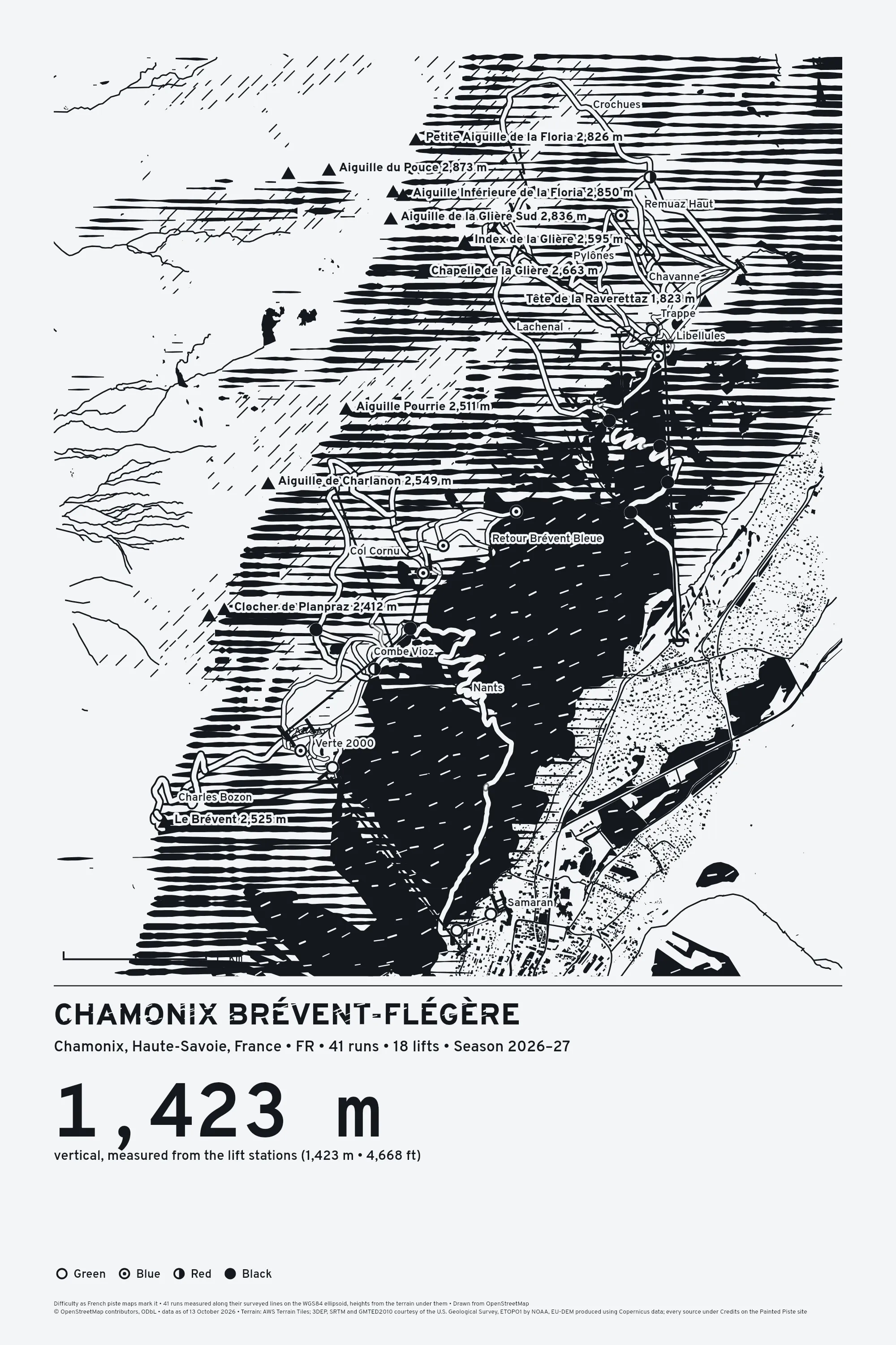
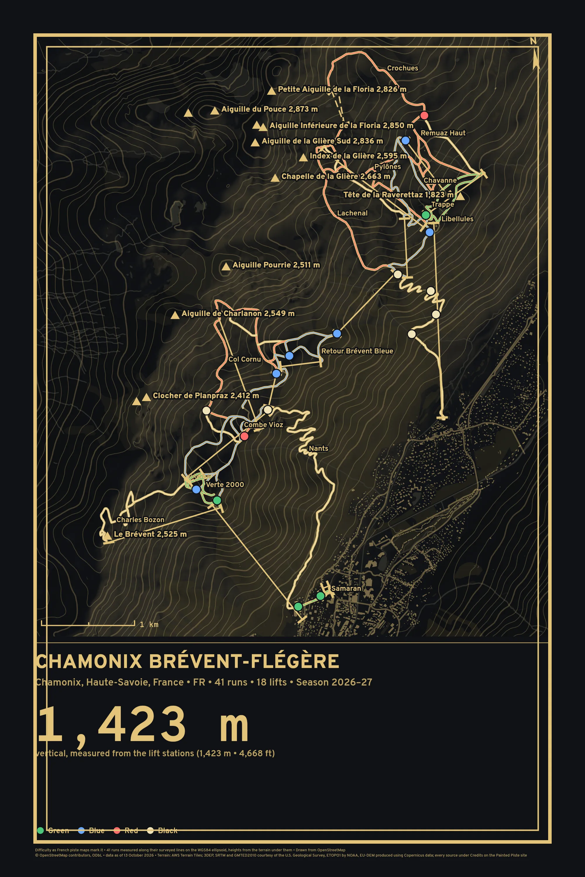
The longest runs
Nants is the longest here at 4.1 km, taken along its line as skiers mapped it on 13 October 2026. How it's made.
| Run | Length | Drop | Average |
|---|---|---|---|
| Nants Black | 4.1 km | 684 m | 16% |
| Pylônes Red | 1.8 km | 498 m | 28% |
| Lachenal Red | 1.7 km | 637 m | 36% |
| Crochues Red | 1.7 km | 398 m | 23% |
| Charles Bozon Black | 1.6 km | 378 m | 23% |
| Col Cornu Red | 1.5 km | 441 m | 29% |
| Retour Flégère Blue | 1.5 km | 225 m | 15% |
| Blanchots Blue | 1.4 km | 257 m | 18% |
| Charlanon Red | 1.4 km | 341 m | 25% |
| Combe Vioz Blue | 1.3 km | 247 m | 19% |
| François Bonlieu Black | 1.2 km | 403 m | 32% |
| Trappe Green | 1.1 km | 159 m | 14% |
Painted Piste is not affiliated with or endorsed by Chamonix Brévent-Flégère or its operator. The drawing is ours. Runs and lifts © OpenStreetMap contributors. Open Database License 1.0: https://www.openstreetmap.org/copyright, retrieved 13 October 2026.