The Mountains • Taos Ski Valley, New Mexico
Taos Ski Valley
3,137 ftOur vertical, top station to bottom station: 3,137 ft • 956 m
3,131 ftThe mountain publishes, read on its own page 12 October 2026
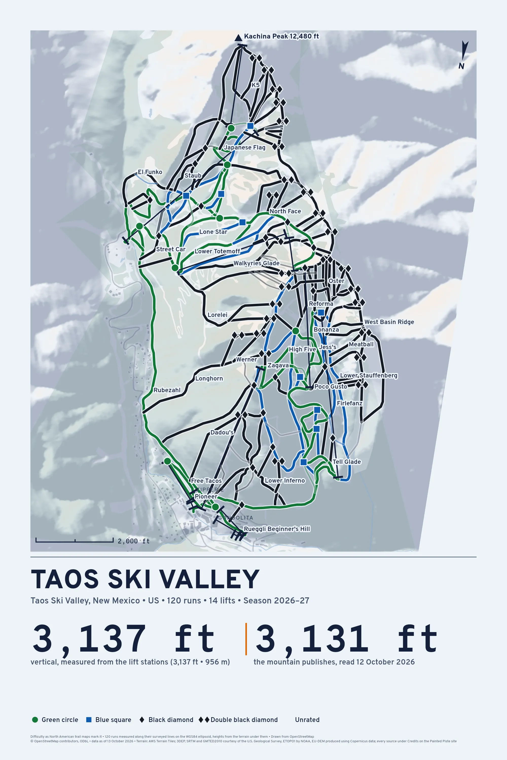
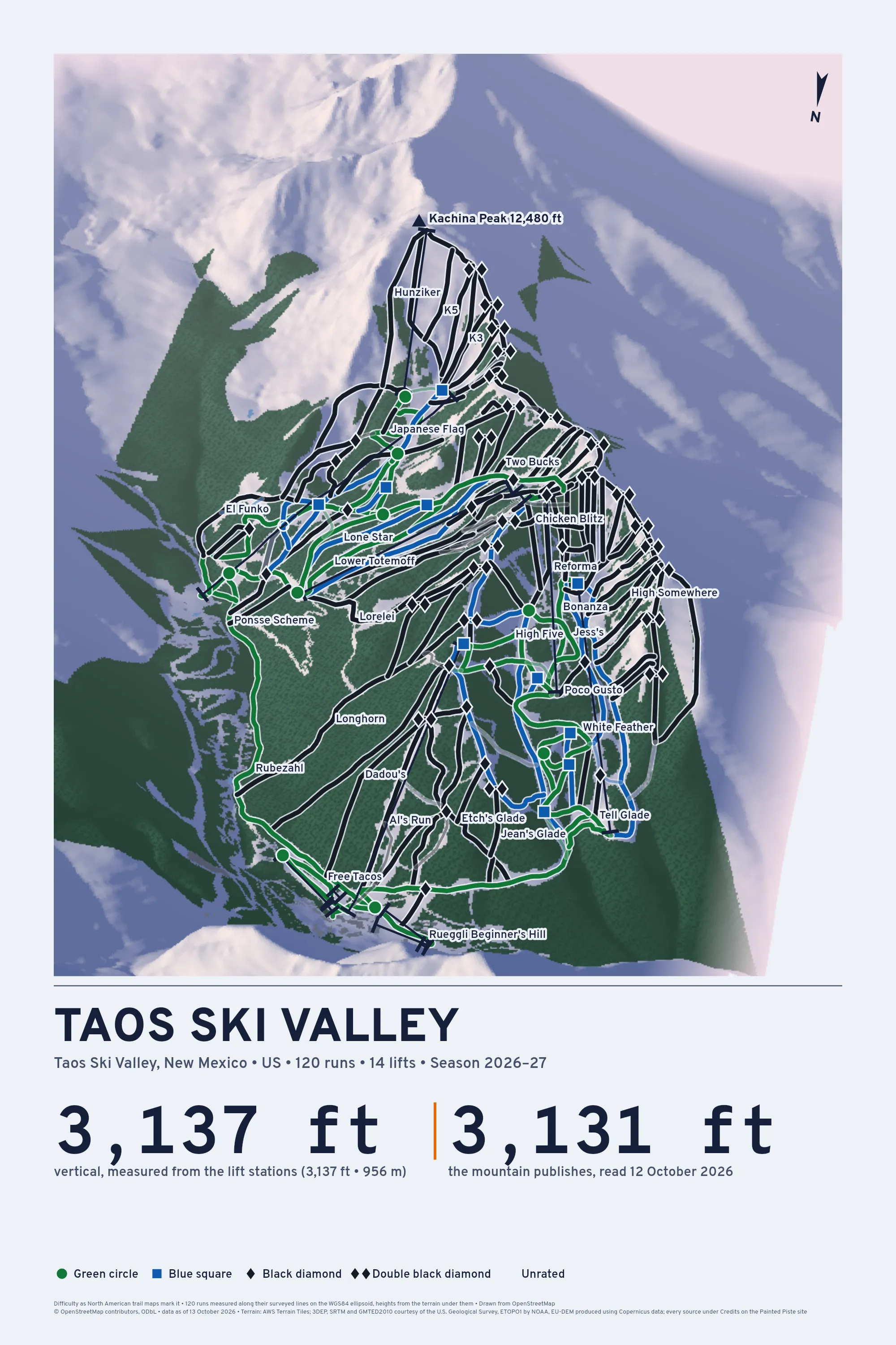
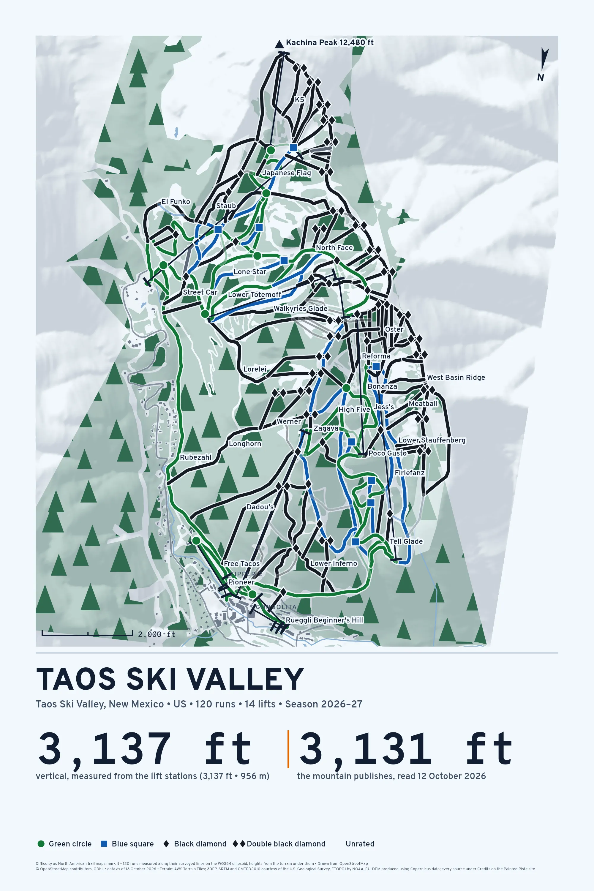
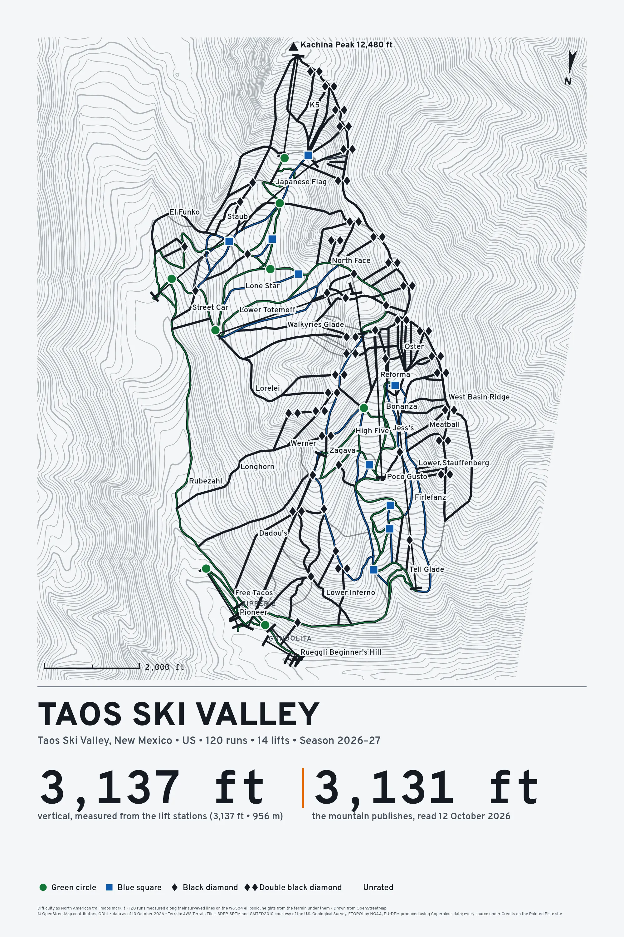
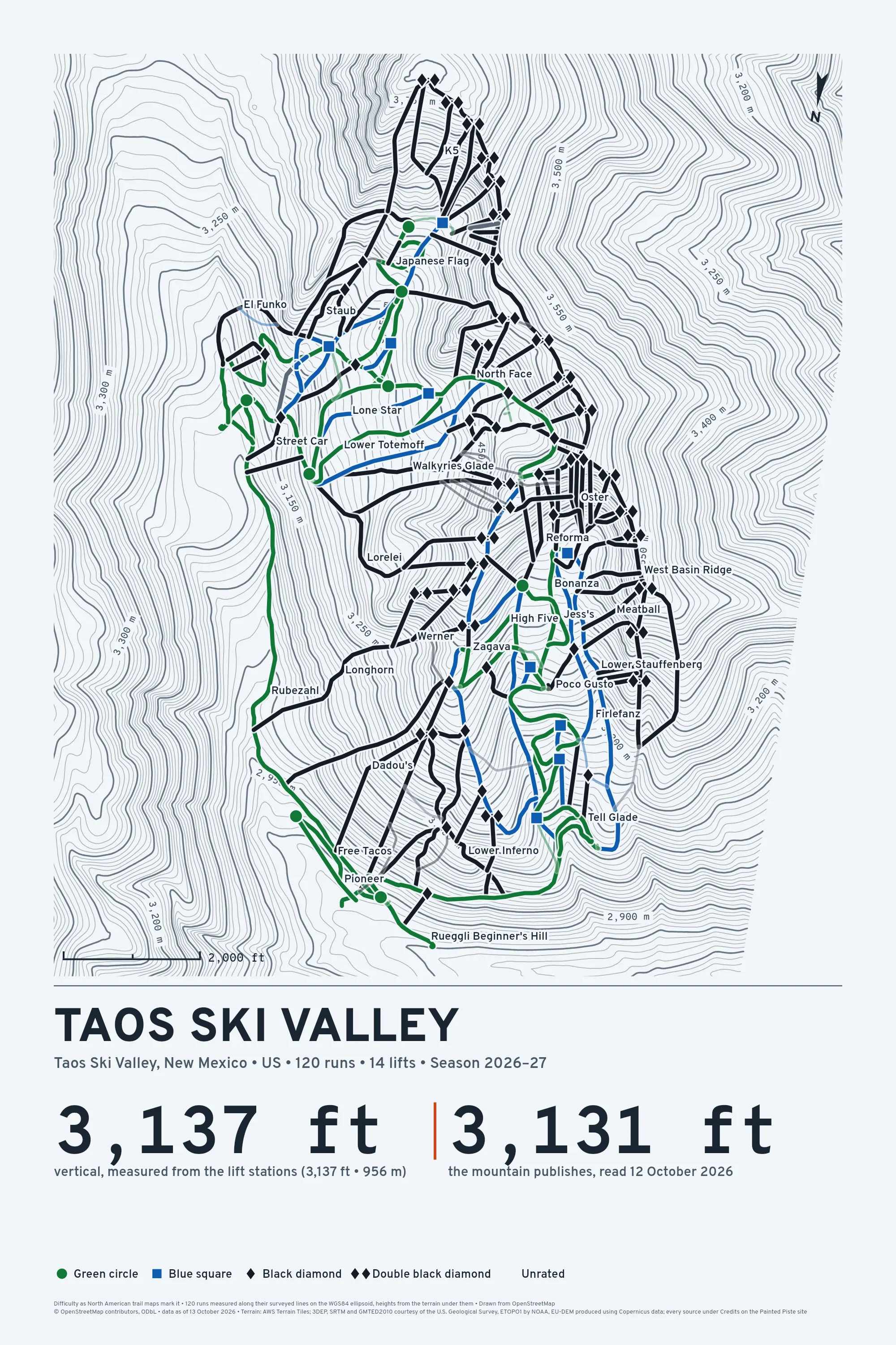
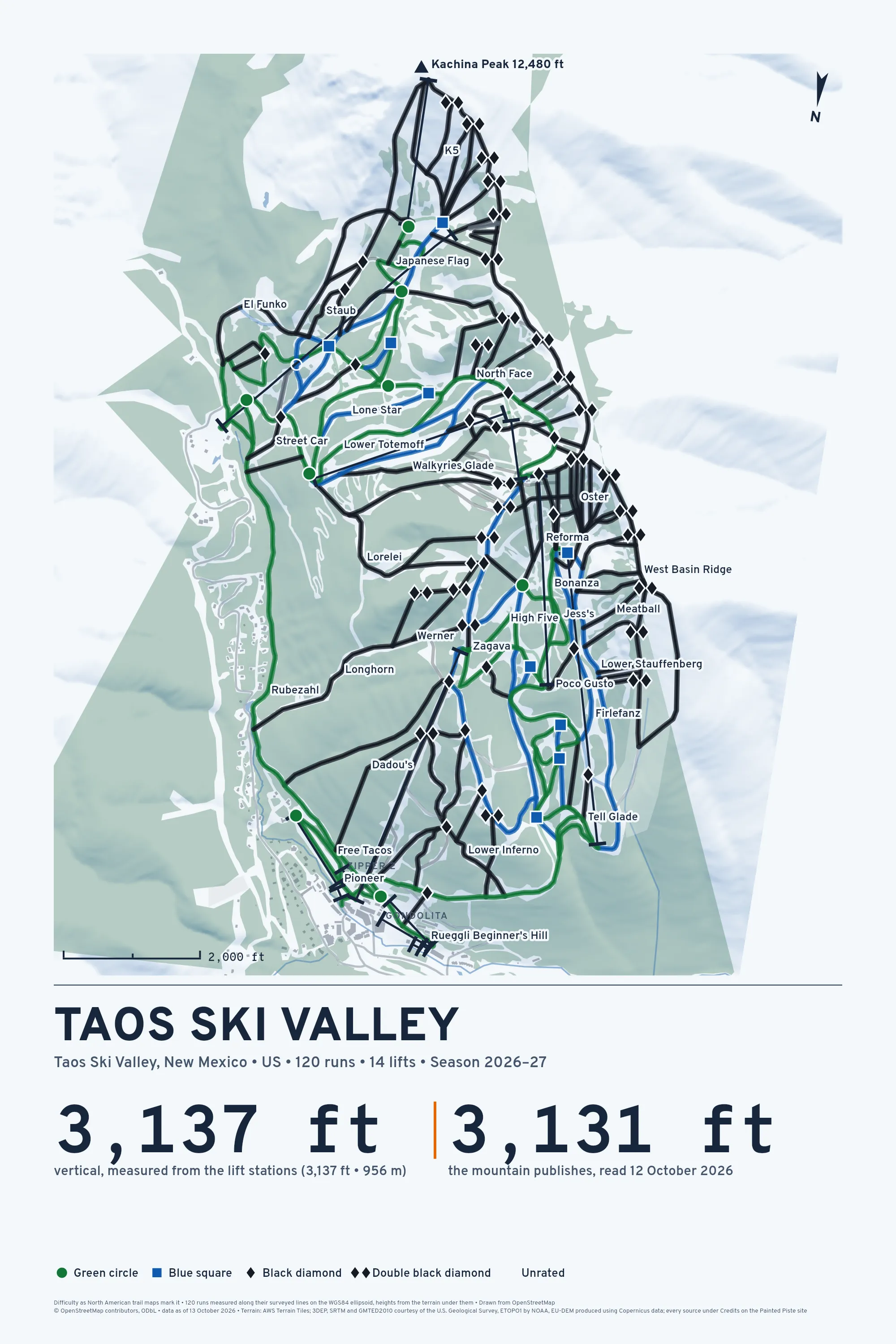
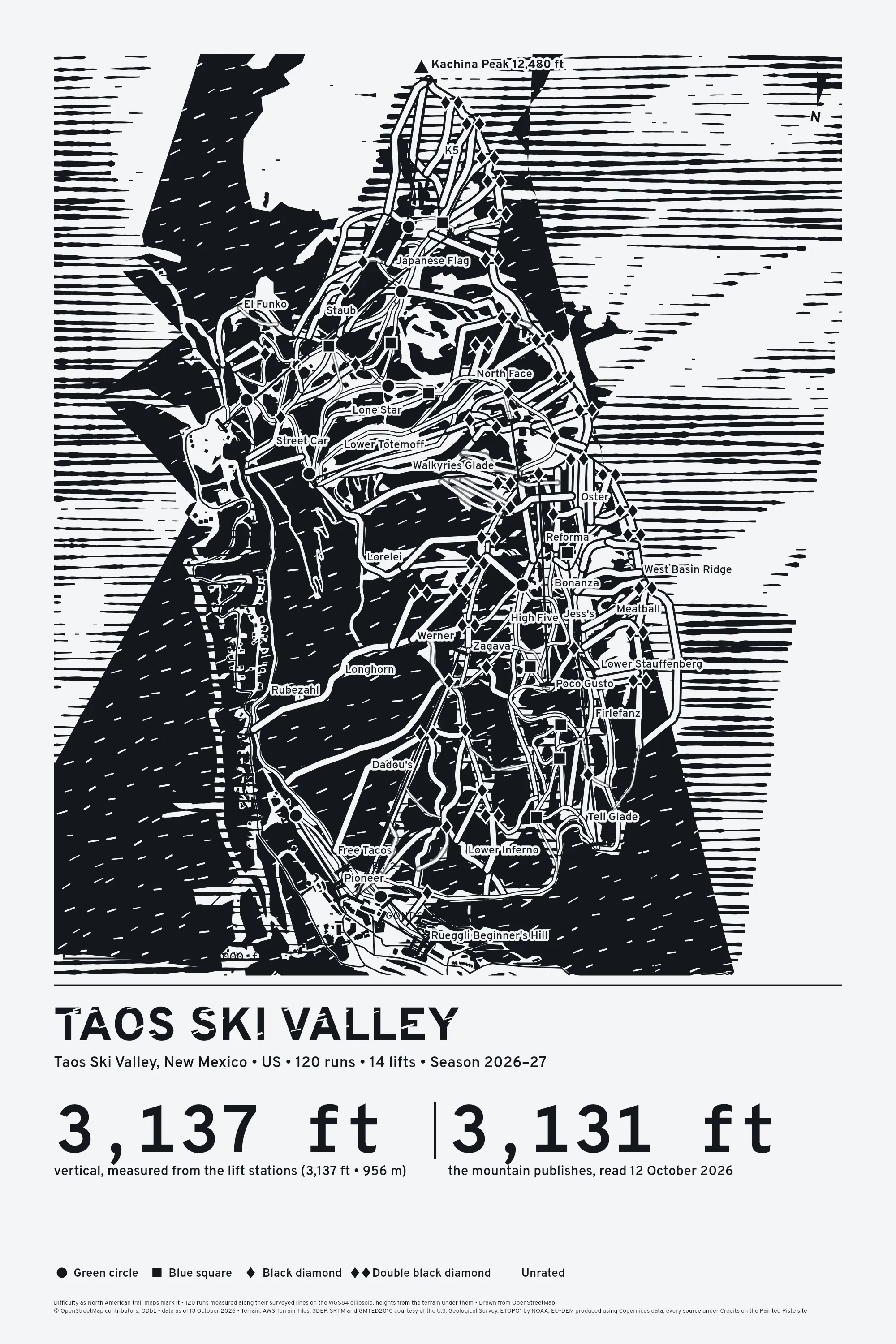
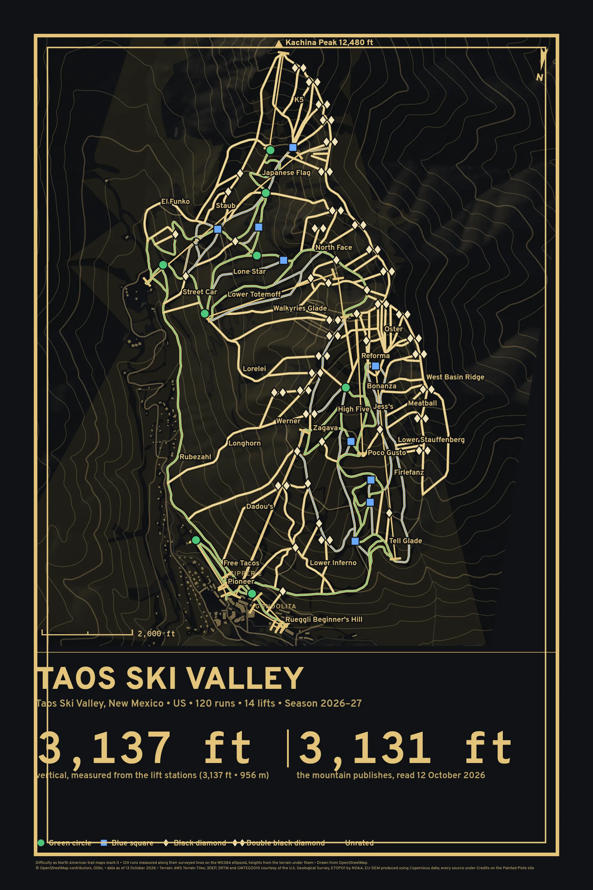
Taos Ski Valley has 120 runs on the map and 14 lifts. Open any picture below and zoom in until you can read every one by name.
Choose How It's Drawn
The longest runs
Rubezahl is the longest here at 1.5 mi, taken along its line as skiers mapped it on 13 October 2026. How it's made.
| Run | Length | Drop | Average |
|---|---|---|---|
| Rubezahl Green circle | 1.5 mi | 834 ft | 10% |
| White Feather Green circle | 1.3 mi | 1,005 ft | 15% |
| Honeysuckle Green circle | 1.1 mi | 1,252 ft | 21% |
| Lower Stauffenberg Blue square | 4,868 ft | 1,172 ft | 24% |
| Lower Patton Green circle | 4,607 ft | 750 ft | 16% |
| West Basin Ridge Double black diamond | 4,583 ft | 1,397 ft | 30% |
| Highline Ridge Double black diamond | 4,437 ft | 589 ft | 13% |
| Longhorn Double black diamond | 3,652 ft | 1,509 ft | 41% |
| Porcupine Blue square | 3,638 ft | 900 ft | 25% |
| Japanese Flag Green circle | 3,591 ft | 464 ft | 13% |
| Lorelei Black diamond | 3,348 ft | 907 ft | 27% |
| Al's Run Black diamond | 3,293 ft | 1,611 ft | 49% |
Painted Piste is not affiliated with or endorsed by Taos Ski Valley or its operator. The drawing is ours. Runs and lifts © OpenStreetMap contributors. Open Database License 1.0: https://www.openstreetmap.org/copyright, retrieved 13 October 2026.